
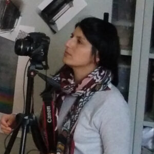
Professional profile
Archaeological and Stratigraphic Analysis | Digital Survey | 3D Photogrammetry | GIS Cartography | 3D Modeling
Historical and stratigraphic analysis of archaeological evidence, study of ancient monuments; traditional and instrumental archaeological survey (topographic, 3D photogrammetry and laser scanner); graphic representation of archaeological, architectural and restoration documentation; creation of archaeological and thematic maps in GIS; point cloud processing and 3D modelling.
Groups & Labs CNR ISPC
Digital Representation and Survey Lab →