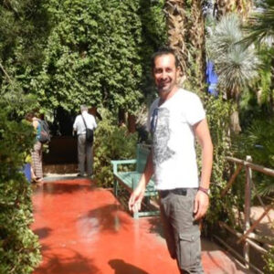
Pasquale Merola
Technologist
Lecce
Pasquale Merola is specialized in techniques of survey, mapping, GIS and Remote Sensing. He graduated in Cultural Heritage by a thesis in Archaeological remote sensing. He holds a Masters International "Space Systems on Earth Observation (Application of Remote Sensing from Space)" and a PhD in Remote Sensing applied to archaeological research.
Staff Archaeological Mapping Lab
Staff Archaeology, Settlements and Environment Research Group
Staff RES-DATA Lab

