Special Issue of “Remote Sensing” by MDPI on underwater cultural heritage research
Now open for submission the Special Issue “Remote Sensing Methods and Approaches for Underwater Cultural Heritage Research and Management”, directed by Crescenzo Violante (CNR ISPC) and Nikos Papadopoulos (FORTH IMS GeoSat ReSeArch Lab), within the open access Journal Remote Sensing by MDPI.
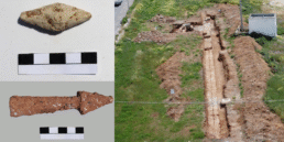
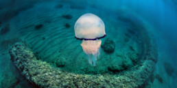
A substantial quantity of prehistoric and historic cultural heritage is now underwater. Sea level fluctuations over the past millennia have periodically inundated coastal settlements that, for prehistoric and historic humans, were their gateways to marine resources as well as transport and migration routes. These natural factors integrated with associated pressures from anthropogenic activities formulate a constantly evolving environment, exposing the cultural resources in these zones to decay and destruction. At the same time, wreck sites, i.e., sunken ships and aircraft and any material associated with such vessels, are now submerged at various depths in both marine and inland waters. All these generate the necessity to plan, organize and implement actions to document and preserve the coastal and shallow submerged cultural material, assuring its accessibility and protection for future generations.
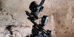
Among recent technologies enabling the study of the marine environment, remote sensing technologies provide fast and cost-effective tools that are now being applied to the documentation and monitoring of underwater cultural and natural resources. These methods are indeed highly effective for the study of the underwater cultural heritage (UCH), providing baseline data for the management and protection of underwater cultural sites.
This Special Issue focuses on underwater remote sensing technologies and methodological approaches that are currently used for the investigation, documentation, and monitoring of UCH.
Researchers and authors are invited to submit studies covering different uses of remote sensing and geophysical methodologies by different sensors and platforms for the characterization and mapping of seabed archaeology and underwater cultural landscapes. Multisource data integration (e.g., bathymetry, backscatter and visual inspection) and multiscale approaches are particularly welcome.
Topics of interest for this Special Issue include, but are not limited to, the following:
- Acoustic remote sensing methods for the characterization and mapping of UCH;
- Geophysical methods for maritime and underwater CH research;
- Coastal and offshore geophysical imaging of buried CH;
- Lidar technologies for coastal and nearshore CH research;
- Underwater photogrammetry;
- Satellite remote sensing for coastal and marine CH research;
- Development of sensors and ICT/IoT tools for monitoring and interpretation of UCH;
- Spatial modeling of seabed archaeological targets/structures;
- Automated methods for digital classification and mapping of UCH;
- Marine remote sensing techniques/technologies for monitoring of UCH;
- Marine geoarchaeological research;
- Underwater hyperspectral imaging of UCH.
Deadline for manuscript submissions: 29 July 2024